We'd love to hear from you

About Us
At Urban Vision Pvt Limited, we are a team of GIS professionals dedicated to providing high-quality GIS services to businesses and organizations of all types and sizes. Our mission is to help our clients make better decisions and achieve their goals through the use of spatial data and analysis.
Urban Vision Pvt Limited has built a reputation for excellence in GIS services. Our team includes GIS analysts, developers, and data scientists who are experts in their fields and passionate about using GIS to solve real-world problems. We have completed projects for clients across a range of industries, including government, utilities, transportation, real estate, and environmental organizations. See More
Services
At Urban Vision Pvt Limited, we offer a comprehensive range of GIS services to help businesses and organizations of all types and sizes leverage spatial data and analysis to make better decisions and achieve their goals. Our team of GIS professionals has years of experience working with clients in a wide range of industries, including government, utilities, transportation, real estate, and environmental organizations.

Data Management
We understand that managing spatial data can be a challenge. That's why we offer a range of data management services, including data integration, conversion, migration, and quality control. We can help you organize your data and ensure that it is accurate, up-to-date, and easily accessible.

Mapping & Spatial Analysis
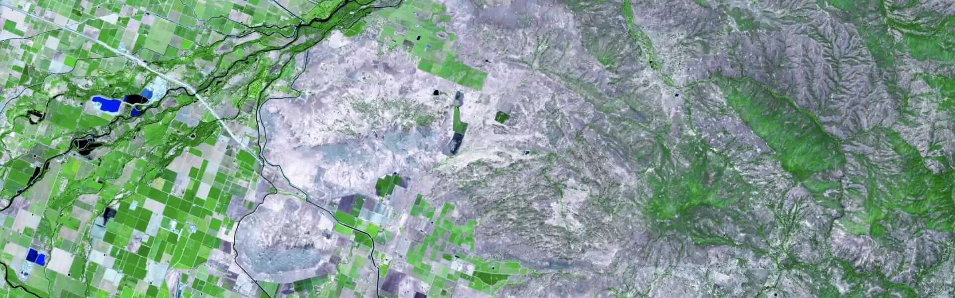
Our team of GIS experts can help you create detailed maps that visualize your data and provide insights into spatial patterns and relationships. We use state-of-the-art software tools and techniques to perform spatial analysis and identify trends and patterns in your data.

Customized Mobile Apps Development
Our GIS developers can create custom GIS applications tailored to your specific business needs. Whether you need a web-based or desktop GIS application, we can help you create a solution that is user-friendly, scalable, and meets your business requirements.

Geospatial Intelligence
We can help you gain a deeper understanding of your business environment by analyzing spatial data from various sources, such as satellite imagery, social media, and weather data. Our geospatial intelligence solutions can help you make better-informed decisions and improve your bottom line.

Drone Mapping
Our drone mapping services allow you to capture high-resolution aerial imagery of your property or project site. We use the latest drone technology and software to create accurate and detailed maps that can help you monitor construction progress, assess environmental impacts, and improve safety and security.

GIS Consulting
Our goal is to help our clients leverage the power of GIS technology to make informed decisions, improve operational efficiency, and gain a competitive advantage in their respective industries. Consult us today to learn how we can help you and your business with it's GIS needs and requirements.
Industry to be Serve
At Urban Vision, we offer GIS services to businesses and organizations across a wide range of industries. Our GIS solutions are tailored to meet the unique needs of each industry, helping our clients to make better decisions and achieve their goals.
Gallery
Explore Some of GIS Work and Projects.
Urban Vision
View more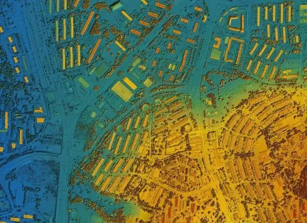
Urban Vision
View more
Urban Vision
View more
Urban Vision
View more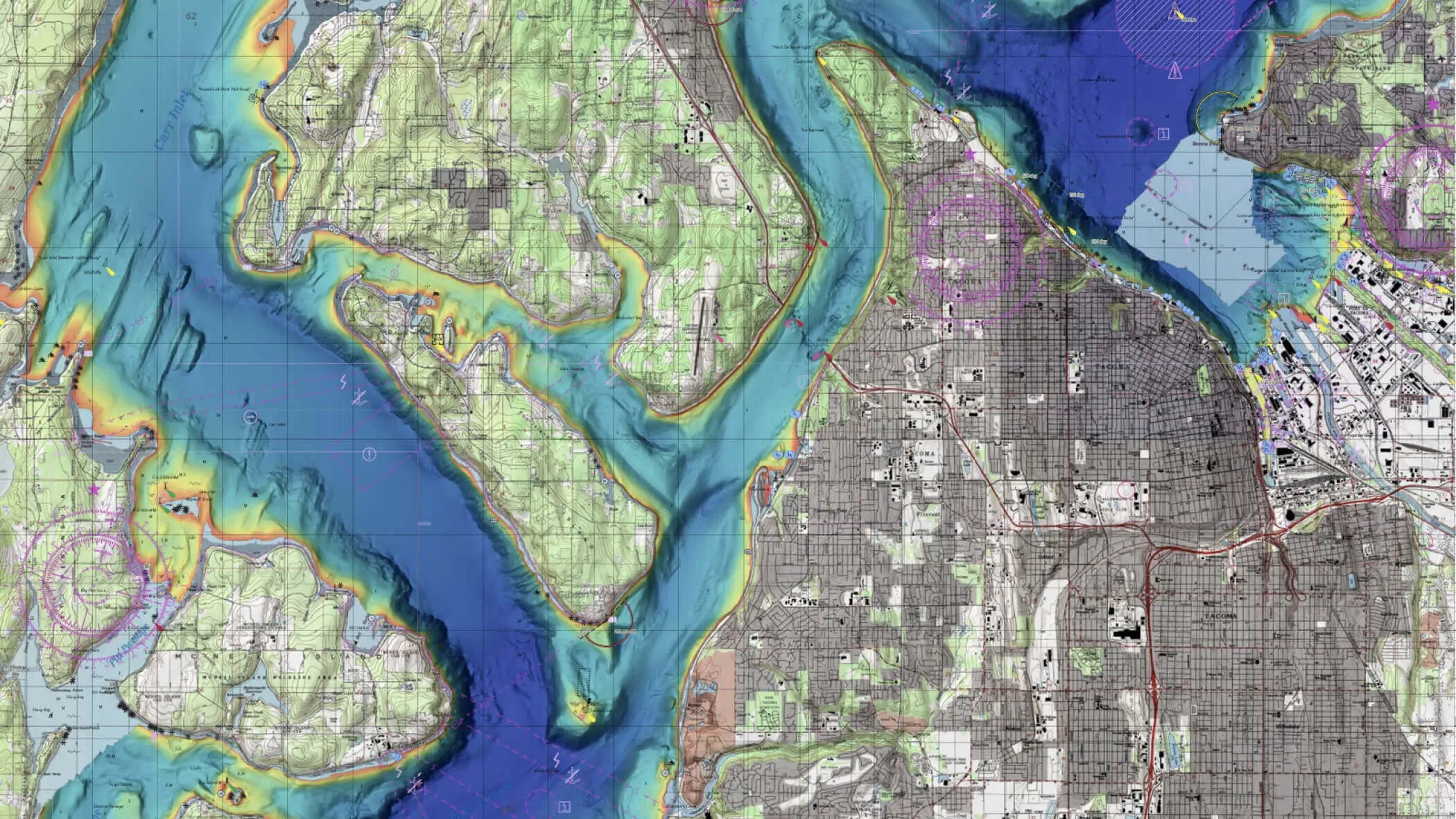
Urban Vision
View more
Urban Vision
View more
Urban Vision
View more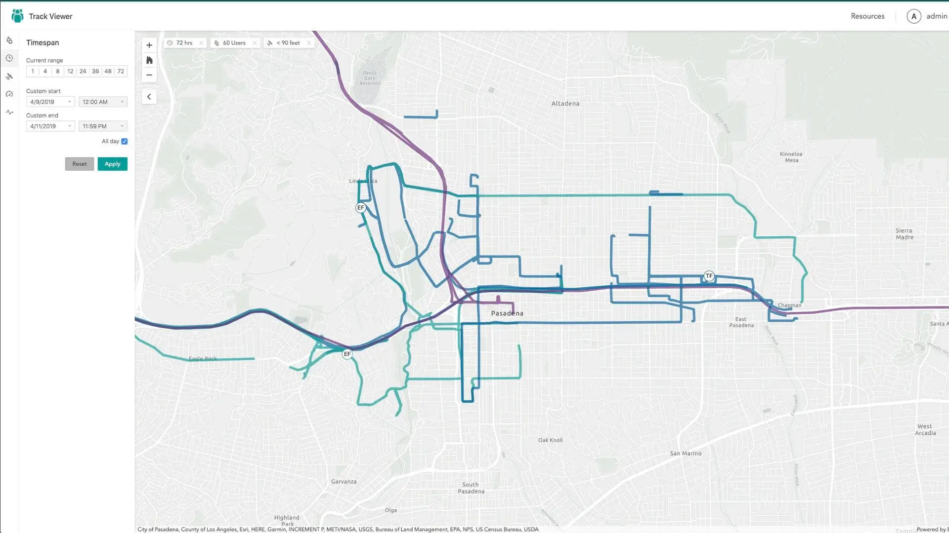
Urban Vision
View more
Urban Vision
View more
Urban Vision
View more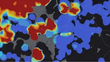
Urban Vision
View more
Urban Vision
View more
Urban Vision
View more
Urban Vision
View more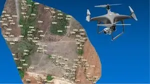
Urban Vision
View more
Urban Vision
View more
Urban Vision
View more

Urban Vision
View more
Urban Vision
View more
Urban Vision
View more
Urban Vision
View more
Urban Vision
View more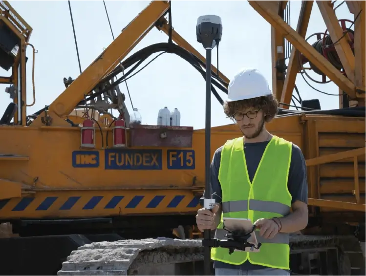
Urban Vision
View more
Urban Vision
View more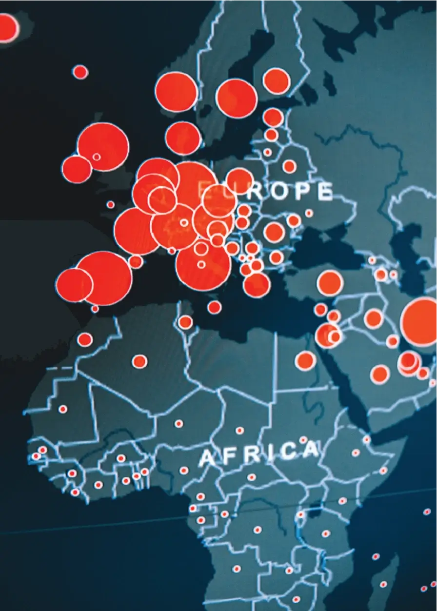
Urban Vision
View more
Urban Vision
View more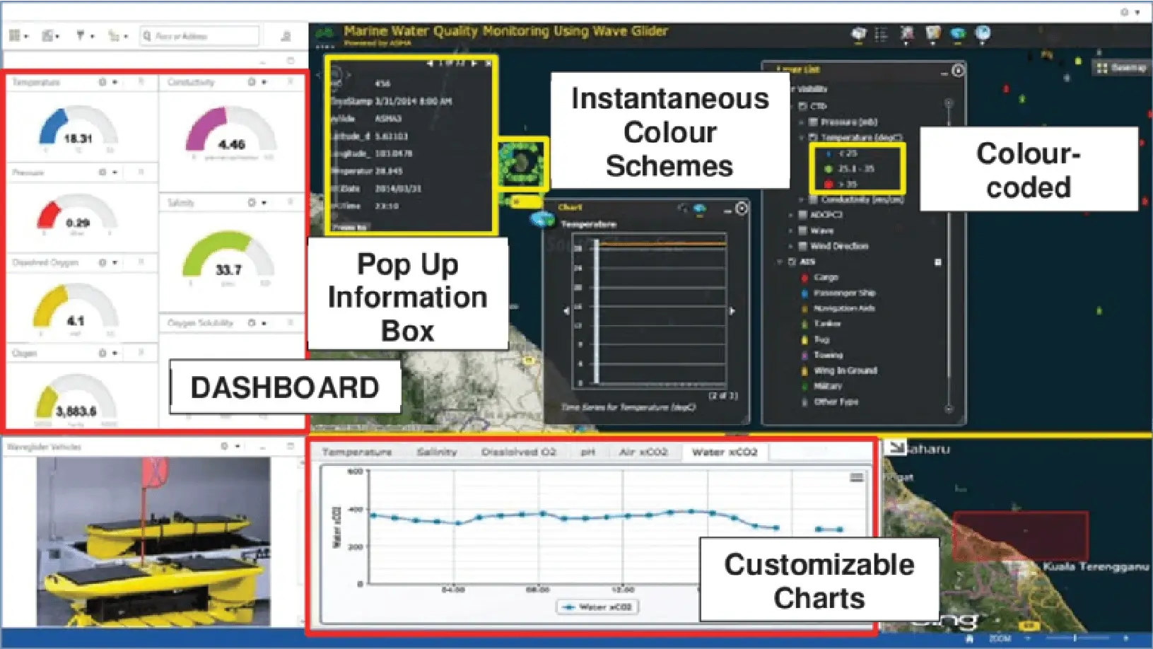
Urban Vision
View more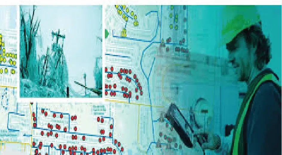
Urban Vision
View more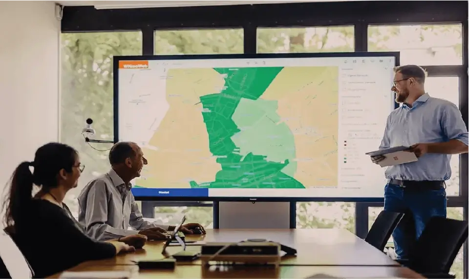
Urban Vision
View more
Urban Vision
View more
Urban Vision
View more
Urban Vision
View more
Urban Vision
View more
Urban Vision
View more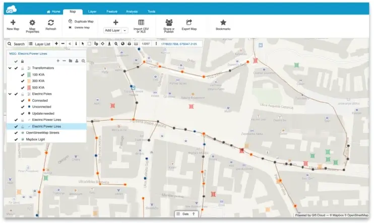
Urban Vision
View more
Urban Vision
View more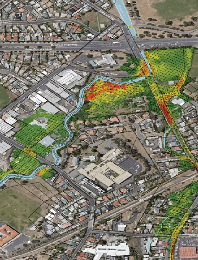
Urban Vision
View more
Urban Vision
View more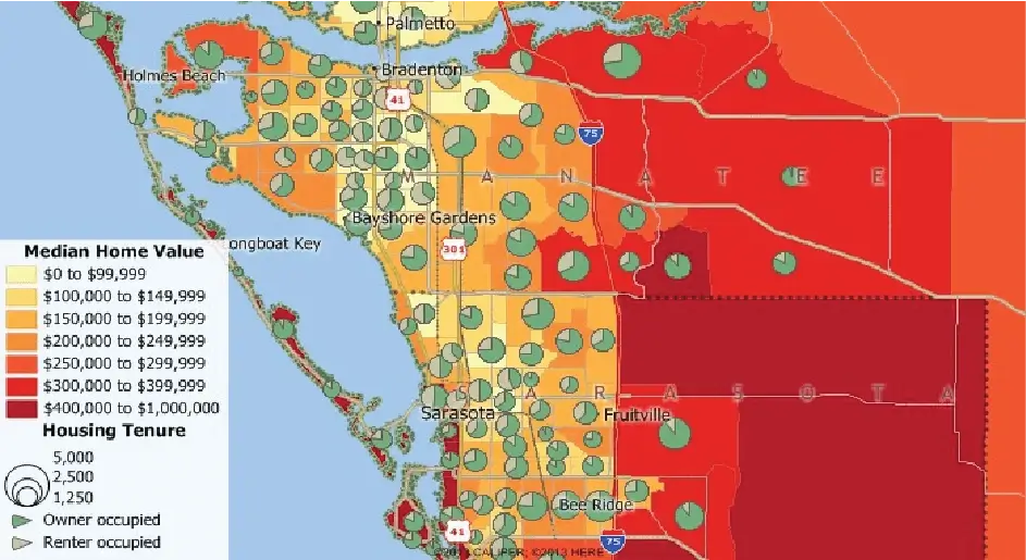
Urban Vision
View more
Urban Vision
View more
Urban Vision
View more
Urban Vision
View more